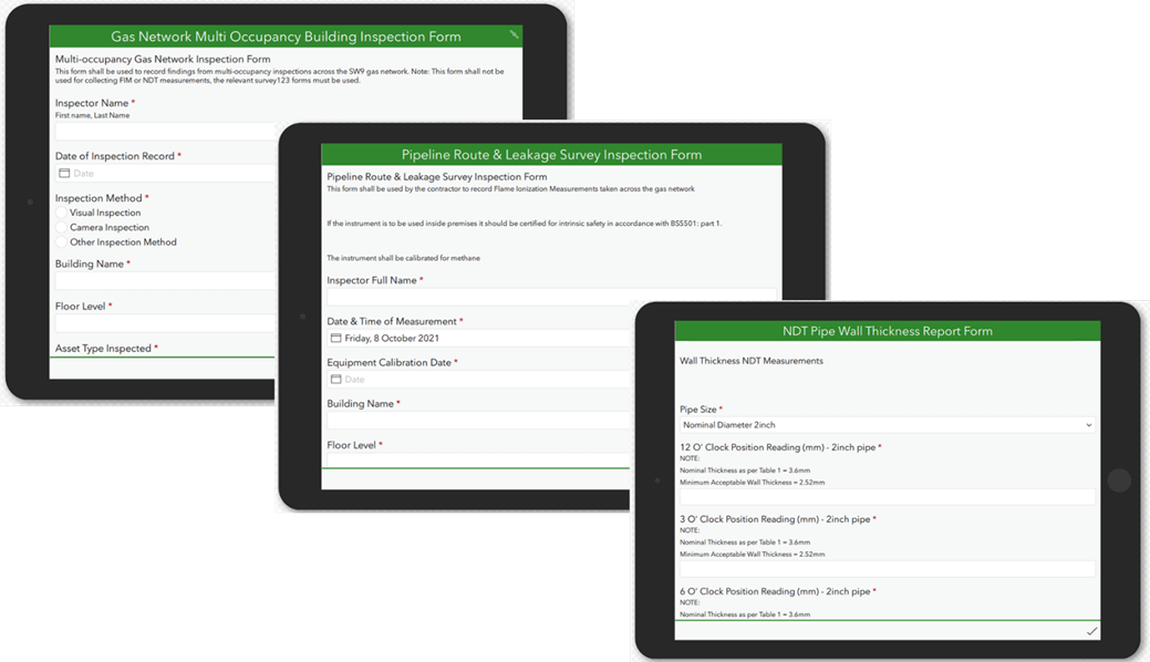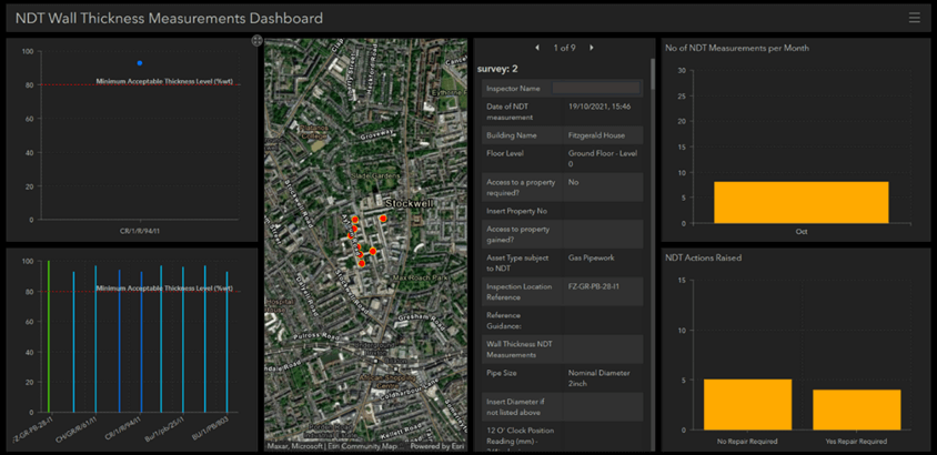
GIS In-field Data Collection
Graphical Information Systems – Capture In-field survey and inspection data
Asset survey data collection and storage is now an essential part of ongoing maintenance management. The ability to capture inspection or maintenance data and submit whilst in-field provides many benefits to asset owners, through providing ‘live and real-time data’.
Not only does it benefit mobile workers in-field (who have the ability to immediately report and review data whilst in-field), but the output of the data collection can provide valuable real-time ‘Dashboards’ for managers and senior management to review both performance and asset trends in order to make informed decisions.


The above field data collection approaches can be utilised in a range of applications such as:
Right of Way Surveys
Meter Room surveys
In-field Defect Assessments (with Automated sentencing) and Integrity Assessment
Audits
Pipeline Near Miss Reporting
Pipeline Theft investigations, data capture and trending
Asset inspections for Utility companies (water, sewage, electricity, telecommunications)
Applications of GIS
At Pipeline CC, we have experience in setting up and developing Graphic Information Survey based inspection tools using Survey123 and ArcGIS. We can set up and develop your survey requirements to ensure you are able to collect the necessary data in-field. Applications of this process can be applied to many industries.
Gas Networks
Water and Utility Networks
Pipeline Operators of transmission lines
Multi-Occupancy and Social Housing Operators

Contact us.
For further information don’t hesitate to contact us.
